Why storm damage happens in Crows Landing
Crows Landing grew up beside the tracks as a farm shipping town, and farm buildings take wind at their edges. The whole town moved to its present site beside the railroad when the line arrived, and many agricultural warehouses and packing sheds still line Highway 33 and the tracks. Four prefabricated steel buildings for walnut storage, 80,300 square feet on concrete pads, stand north of Crows Landing Road. Panels on buildings of this kind start to lift at the eaves and ridges, and wind gets in under open sides, so a loose panel is secured before the next gust.
Much of the housing in Crows Landing is old and in need of work, so a storm finds roofs that were already worn. The County's 2015 report put 41% of the town's units in need of rehabilitation, the sixth-highest share among its unincorporated communities, and the church at West 5th Street and Fink Road dates from 1893. An opened house roof is tarped under Title 8 section 1731 fall protection, and photos separate storm damage from wear that was already there.
Crows Landing has no storm drains, so water from an opened roof has no quick way off the lot. The County found drainage left mainly to roadside percolation, with no pipelines or detention ponds and no curbs or gutters across most of town. At Newman, the nearest station with 1991-2020 normals, January brings 2.66 inches, February 2.23 and December 2.14 of an 11.71-inch year. A roof opened in those months is covered before the next storm arrives.
Rural lots around Crows Landing can be hard to reach, and the town's fire station has no crew of its own. West Stanislaus Fire Protection District's station on G Street is rated Poor and covered from the Newman and Patterson stations, and the District has no full-time firefighters. LAFCO notes long, narrow driveways, address markers that are hard to see and unpaved roads around town. Until the crew arrives, the owner keeps people away from hanging limbs and any line that is down, and a clear landmark helps the crew find the site.
The winter of 2022-23 brought declared storms to Stanislaus County and river warnings near Crows Landing. The CNRFC summary of the storms from late December 2022 into mid-January 2023 gives the valley 5 to 8 inches across the Stanislaus and San Joaquin area, with trees and power lines down, and Stanislaus County appears among the counties Cal OES lists for the major disaster declaration. On 8 March 2023 an evacuation warning covered land west of River Road from Hills Ferry Road north to Crows Landing Road.
On 16 May 2019 a funnel cloud was reported in the Patterson to Crows Landing area, about 1.5 miles south-south-west of the former NAF Crows Landing, in a cold storm that brought heavy rain and small hail. Storms with hail reach this area in spring as well as in winter.
Storm damage repair, as delivered in Crows Landing
Crows Landing is 20 road miles from the Modesto base; the crew arrives on Highway 33 or from I-5 by the Fink Road interchange. One make-safe log carries every visit's photos, boards and tarps for the owner or adjuster.
Highway 33 through town carries 3,750 to 3,950 vehicles a day at 4th Street and meets Fink Road at a four-way stop. Tule fog in December and January and harvest trucks can push arrival toward 140 minutes, and on long rural driveways a landmark given with the request helps. Propertyvendr confirms the time.
Anyone near the damage is moved back from limbs that may still move and from lines that have come down on a roof, shed or tree. Nothing is cut within 10 feet of a high-voltage line until the utility has cleared it.
Sheds, rooms and roofs are photographed and filmed before anything is moved or discarded, as FEMA advises, and each call about the claim is logged.
A tree on a Crows Landing roof or shed comes off under a qualified tree worker, once no one stands beneath it.
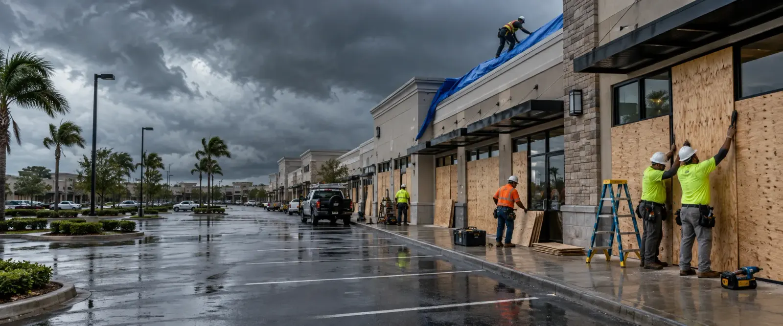
House and shed roofs are tarped and fastened with fall protection at height, and broken windows and forced doors get plywood. The CDI claims guide names plastic sheeting and plywood as the temporary repairs that prevent further damage.
If rain has already reached ceilings, insulation or stored crop, water damage restoration takes it that day.
Receipts are kept for the adjuster. The County's Building Permits Division in Modesto permits the rebuild; parcels in the airport compatibility areas also need FAA height notification.
Where storm damage happens in Crows Landing
Crows Landing's storm damage splits between farm buildings by the tracks, older houses on streets with no drains, and the open land around the former air station.
Highway 33 and the 5th Street commercial strip
The west side of the highway and 5th Street toward G and H Streets, on small lots such as the 3,750-square-foot parcel at 21931 Highway 33 with a 625-square-foot building. Shop windows on the highway are boarded on the first visit.
Packing sheds and warehouses along Highway 33 and the Union Pacific
Many agricultural warehouses and packing sheds beside the tracks, on blocks zoned General Commercial, Limited Industrial and Rural Residential. A lifted panel on one of these roofs is fastened or tarped before rain follows it in.
G Street and the civic block
West Stanislaus FPD's station at 22012 G Street, rated Poor with two apparatus and covered by Stations 55 and 50, where the Community Services District meets. A building already needing major renovation is photographed carefully after a storm.
West 5th Street, I Street and Fink Road
The south-west edge, where the 1893 church at West 5th Street and Fink Road sits among homes, with farmland across Fink Road and the airport compatibility areas over it. Houses facing the open fields take the full wind.
Bonita Avenue: Bonita Elementary and Bonita Park and Pool
The town's K-5 school and the 1-acre park and pool across the street, at the north-western edge; the pool was closed pending repairs in 2015. Storm-broken classroom windows are closed.
4th Street well sites
The Community Services District's well sites on 4th Street, where a 2024 notice proposed replacing Well No. 4, and a later one added a new pump motor and controls. Well equipment damaged in a storm is photographed and covered.
East side: E Street, Armstrong Road and the CCID Main Canal
Bounded by E Street and Armstrong Road, with four prefabricated steel walnut storage buildings north of Crows Landing Road receiving 10 to 12 truckloads a day from September to March. Stored crop is photographed before any cover goes on.
Highway 33 and Fink Road junction
The town's main crossroads, a four-way stop on the two-lane highway, where Highway 33 carries 6,000 vehicles a day behind the junction and 4,600 ahead. A tree or pole across it blocks the way in from I-5.
Crows Landing Industrial Business Park, former Naval Auxiliary Landing Field
North-west of town, 1,528 acres of irrigated crops and two runways are planned, under a 2018 specific plan, for 14 million square feet of buildings over 30 years. Buildings on this open ground stand fully exposed to wind.
Fink Road Landfill
The County's Class III landfill at 4000 Fink Road, open Monday to Saturday, with its closure date moved to 2050 under the 2020 permit. Hauling storm debris there later is a separate service from the make-safe.
San Joaquin River and the Crows Landing Road bridge
The original landing, where the old 670-foot bridge was found scour critical and was to be replaced by a 686-foot span. River water in a building is a separate loss from wind damage, and the two are photographed apart.
Orestimba Creek at Kilburn Road
About 2.4 miles east, the creek crossing is mapped FEMA Zone AE, and the house at 21942 Kilburn Road began as 1890s ranch employee housing. An old farmhouse roof opened by wind is tarped with fall protection.
Storm damage sub-services available in Crows Landing
Questions from Crows Landing property owners and managers
Stanislaus County. Its Building Permits Division at 1010 10th Street, Suite 3400, Modesto, runs the One-Stop Shop in which Planning, Environmental Resources, Public Works and the Fire Warden's Office review construction permits, and it also handles floodplain administration. Repairs that rebuild or remodel a structure need a County permit like any new work. Parcels inside the Crows Landing Airport land use compatibility areas also need FAA height notification. Tarps and boards come first.
The ground under the loose panels is closed off, since a panel still attached can swing in the next gust. The building, the stored walnuts or equipment and the torn panels are photographed and filmed before anything is moved. Then the opening is covered and fastened, and forced doors are secured. Crop that took rain is listed for the claim, and the permanent repair to the building is scoped separately as commercial roof replacement.
Yes. NOAA's Storm Events database records that funnel cloud on 16 May 2019, about 1.5 miles south-south-west of the former NAF Crows Landing, in a cold storm with heavy rain, small hail and local flooding across the northern San Joaquin Valley. Whether the damage comes in May or January, the steps are the same: hazard zone, photos, tree off the structure, tarps and boards, and a water check.
It makes speed matter. Runoff in town soaks in at the roadside, so rain coming off or through a damaged roof has nowhere quick to go and can stand by the walls. The tarp goes on as soon as the roof is safe to work on. Water that has already come inside is passed to water damage restoration, and the photos show where it entered.
No. California's Department of Insurance asks policyholders to make temporary repairs to prevent further damage, and warns that ensuing damage may go uncovered when reasonable steps are not taken. Its guide adds that an adjuster may arrive before you complete any forms. FEMA advises checking with your adjuster or insurer before signing a cleaning, remediation or maintenance agreement, so tell them what is being done.
FEMA's advice is photos and video of all the damage, inside and out, before anything is discarded or the debris haul begins. On a farm property that means the roofs and walls of each building, torn panels where they landed, stored crop and equipment that got wet, and any fallen tree. Keep receipts for purchases made to repair or replace property, and keep a log of calls and letters, as the Department of Insurance asks.
Storm damage repair near Crows Landing

